New York City Map
New York City Map > NYC Travel • About Us
Manhattan Map • Eastern NYC Map • Western NYC Map
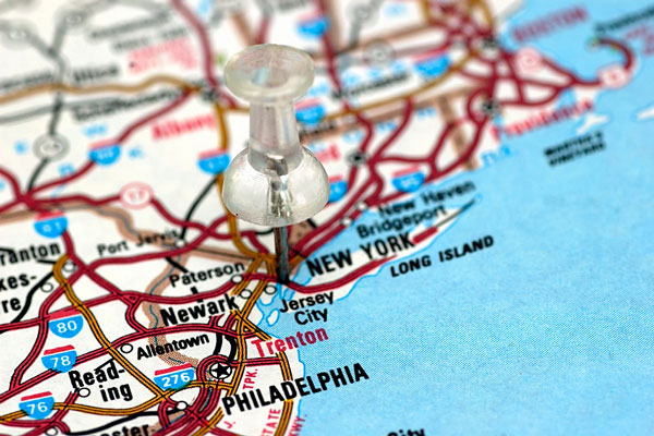 Where is New York City?
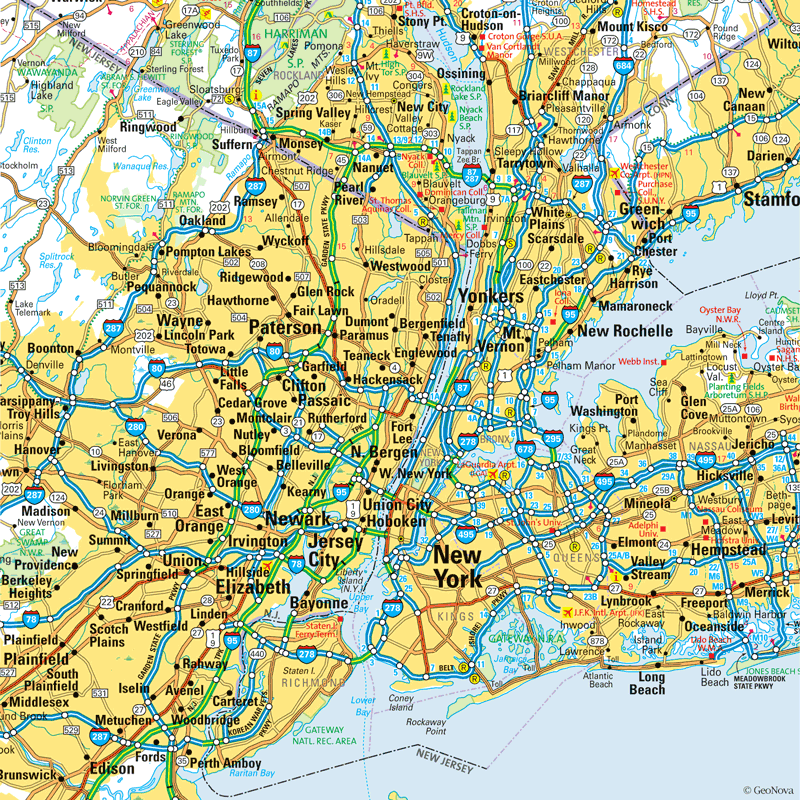
New York City Metro Area Map

Downtown New York City Street Map

Located in southeastern New York State, just east of New Jersey, New York City is one of the most culturally and ethnically diverse cities in the world, and has been ever since 1640, when the first significant flood of immigrants entered the United States via the city's harbor and decided to call the city home. The Statue of Liberty, a gift from France to the United States in 1884, welcomes the diverse throngs who come to the United States in search of a better life.
The boroughs that make up New York City include Manhattan, Staten Island, the Bronx, Brooklyn, and Queens. However, most natives who refer to "the city" or "New York City" are speaking specifically of Manhattan. Manhattan, though it is only 10 miles long and two miles wide, is the hub of the city, and is home to the majority of the area's financial, commercial, and entertainment centers. The financial district is located in lower Manhattan, while the majority of media businesses and shopping are located in Midtown. Ethnic centers such as Chinatown and Koreatown, as well as cultural areas such as Greenwich and Soho, are located in between. The renowned Times Square and theatre district are located just west of Midtown. Central Park provides respite from the hustle and bustle of the city, and those looking for additional recreational outlets can find them at the nearby Long Island beaches, in the Poconos, or at the Jersey Shore.
Interactive New York City Maps
The Hudson River runs south into the Upper Bay, between Manhattan and New Jersey. The East River also flows into the Upper Bay, arriving there after passing underneath the Brooklyn Bridge. The bay eventually becomes the Lower Bay where Brooklyn and Staten Island are closest, and eventually merges into the Atlantic Ocean.
Aside from Greenwich Village and other older areas, the city is laid out in an organized avenue and street grid that was developed in 1811. New York City is easily reached by rail, bus, and airplane; within the city, residents, commuters, and visitors can navigate via automobile, taxi, and subway.
New York City Information Directory
- New York City Government - official City of New York website.
- New York City Product and Service Guide - New York City enterprises.
All rights reserved. About us.
The New York City metro area map is © Globe Turner.
The downtown New York City street map is © Globe Turner.